

The Wildlife Science Centre works collaboratively to deliver timely, rigorous science to decision makers.
The WSC conducts primary and applied research, facilitates knowledge gathering and synthesis, and develops management plans and study designs through working with Indigenous communities, industry, academics, and government. Our aim is to understand the drivers of change for wildlife populations; track changes in their habitats; and disentangle the complex relationships between species, disturbances, and climate.
Visit wildlifescience.ca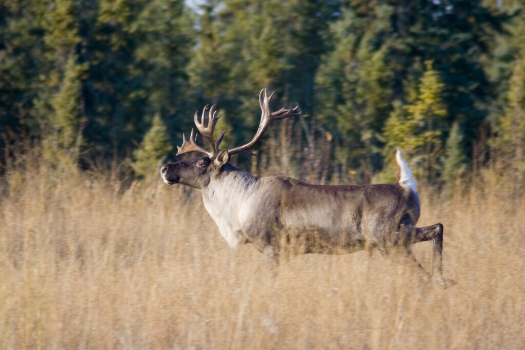
SENSR (Services for Environmental Sensor Research) helps you maximize the potential of environmental sensor data.
We support effective biodiversity monitoring and research through science-based study designs, high-quality data processing, and open data and collaboration. We actively contribute to the development of standardized, shared protocols and data management practices.
Visit sensr.ca
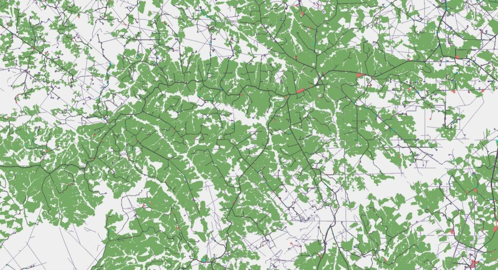
Monitoring human footprint in British Columbia
The British Columbia Footprint Monitoring Program is a partnership between Biodiversity Pathways and the University of Northern British Columbia. Its aim is to produce a human footprint dataset for the province of British Columbia to monitor landscape change.
Human footprint is defined as the extent of human land use in any given area, including developments such as roads, seismic lines, and surface mines. Creating human footprint maps will support cumulative effects monitoring and management of development in BC, including in old-growth forest and caribou habitat.
Stay tuned for additional information as the program develops!
Biodiversity Matters
We develop and implement scientifically credible, value-neutral monitoring programs